The Pemberton Valley
Geology, Geography, and Historical Background
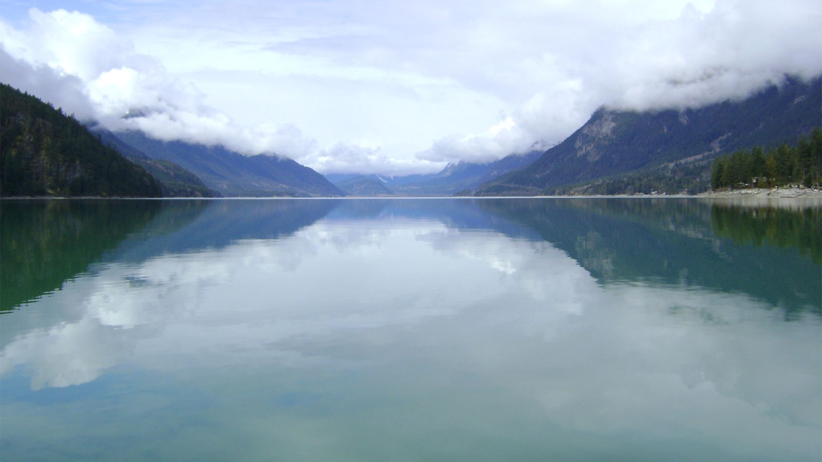
On the south coast of British Columbia, with a catchment area of over 2600 km², the Pemberton Valley encompasses the Lillooet River upstream from Lillooet Lake, including Mount Currie, Pemberton, and the Pemberton Meadows area.
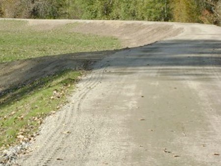
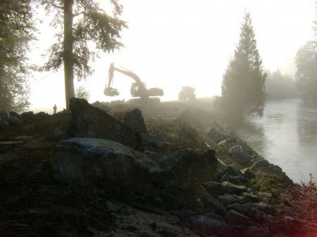
There are numerous creeks and rivers that converge into the Valley including the Lillooet River, Ryan River, Miller Creek, Pemberton Creek and the Green River. With all this water, it is no surprise that flood protection plays a key role in the valleys sustainability.


