High Water Events
River levels in the Pemberton Valley are affected by a number of factors and although it seems pretty straight forward it often isn’t.
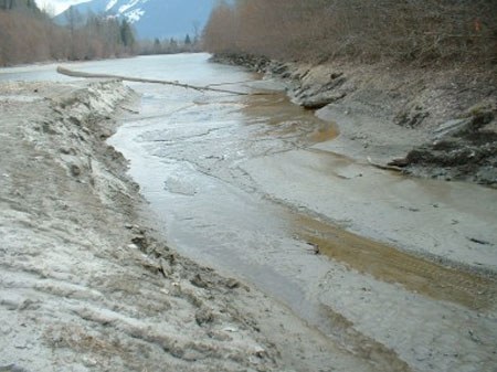
The Pemberton Valley is home to the Lillooet River, Ryan River, Birkenhead River, Green River, Pemberton Creek and Miller Creek. Each watershed has its own set of characteristics that affect the volume of water and the time it takes for water to make it to the Valley. These characteristics include, size, steepness, aspect, elevation, vegetation and climatic zones within a watershed. These characteristics influence the rate at which water levels fluctuate. For instance, Pemberton Creek is a relatively small, steep, watershed. During heavy rainfall the creek responds quickly, water levels peak within hours and subside in a similar fashion. The Lillooet River on the other hand, is the opposite. A peak rainfall or heavy snow melt generally takes about 12 hours to peak in the river. A good example of this is during the Freshet. After a hot June day the water levels will generally peak towards the early morning 4am to 6am.
Having a good knowledge of the “Personalities” of our neighboring creeks and rivers is an asset during high water events. When we feed climatic conditions to these personalities we generally know what to expect and can plan accordingly.
High Water Events in the Pemberton Valley are predominately brought on by 2 conditions, Rain on Snow Events and The Freshet.
The Freshet
The freshet is a period of spring thaw of snow and ice which commonly increase river levels. The freshet is typically driven by warm temperature however, heavy rains during the freshet can impact water levels significantly. August 30, 1991, is an example of a high water event during the freshet which resulted in an instantaneous flow of 1410 cum/s on the Lillooet River.
Rain on Snow Events
The combination of heavy rainfall and rapid snow melt can result in significant surface runoff. Rain on snow events are most common in October. Early snow fall accumulates in the surrounding mountains and when followed by a warm, moist frontal system or a “pineapple express” you have a recipe for a rain on snow event. The most significant events result from heavy rains and freezing levels well above the mountain peaks. The October 8, 1984 and October 18, 2003 floods were examples of rain on snow events. The instantaneous peak flows on the Lillooet River were recorded at 1310 cum/s and 1490 cum/s respectively.
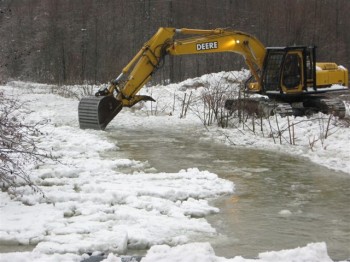
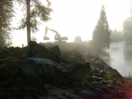
High Water Monitoring/The Dike Crest Gauge Program
During high water events the district pays close attention to weather forecast and freezing level information as well as river and creek water levels. The Lillooet River has a real-time hydrometric station that can be accessed at Environment Canada, Real-Time Hydrometric Data Graph for Lillooet River near Pemberton. Other creeks and river levels are monitored onsite by individual gauges or standard “Dike Crest Gauges”.
A Dike Crest Gauge consists of a gauge plate measuring device, much like that of a survey rod. The gauge plates are mounted to red and white steel I-beams which are driven into the ground in close proximity to a creek or river. The zero on the gauge plate indicates a level exactly 2.0 m below the crest of the dike at that specific location. The gauge shows reference bars spaced at 0.01 metre increments (ie. each line marking and space is one centimeter thick). The higher the number the closer the water level is to the crest of the dike which is always 2.0m.
There are 5 dike crest gauges installed across the Pemberton Valley. On the Lillooet River there are two gauges, one just upstream of the old sewage treatment plant and one close to the Forestry Bridge in the upper valley. The Ryan River dike crest gauge is located north of the red barn at Riverlands by hydro pole #144 on the river side. Miller Creek dike crest gauge is located immediately upstream of McEwen’s old bridge on the left bank, looking downstream. Pemberton Creek dike crest gauge is located immediately downstream of the Highway 99 bridge on the left bank, looking downstream.
Dike crest gauges are very useful in high water events because they allow us to identify how quickly the water is rising in relation to the crest of the dike. Dike crest gauges are monitored in conjunction with precipitation and freezing level forecasts. This information is used to advise members of the Emergency Planning and Operations Committee of potential risks to public safety.
The water levels collected from dike crest gauges are also useful for calibration of flood events for future dike design work.
Public Input
Although the district monitors river levels, weather forecasts, dike crest gauges and dike conditions during high water, we still rely on public input.
Many longtime residents of the valley, through past experience, are valuable resources when it comes to flood warnings. Information passed on from residents regarding surging rivers, debris torrents, log jams, ice jams, sand boils, dike failures, etc. have been and will continue to be vital to public safety and emergency response crews. To report a concern regarding flood protection works please phone the PVDD office, 604-894-6632. To report an emergency situation or the possibility of an uncontrollable dike failure, please phone the RCMP Emergency line 604-894-6126.