Gravel Management
The movement of gravel through a watercourse occurs naturally over time as a result of erosion.
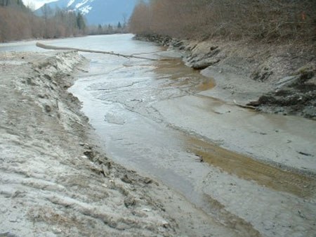
Gravel has a tendency to accumulate at different locations while being moved downstream. These locations are typically called gravel bars and are elevated areas within the river channel. As they grow within the channel they force the flow of the river elsewhere. All of the creeks and rivers within the Pemberton Valley have flowed in a different course to where they are now as a result of this natural process.
Some of the dyking and rip rap work in the valley limited the ability of rivers to change their course. Consequently, rivers and their gravel bed load are confined to their individual channels. In some cases, if left unchecked, gravel can accumulate in a channel forcing water levels to exceed the levels of the dykes.
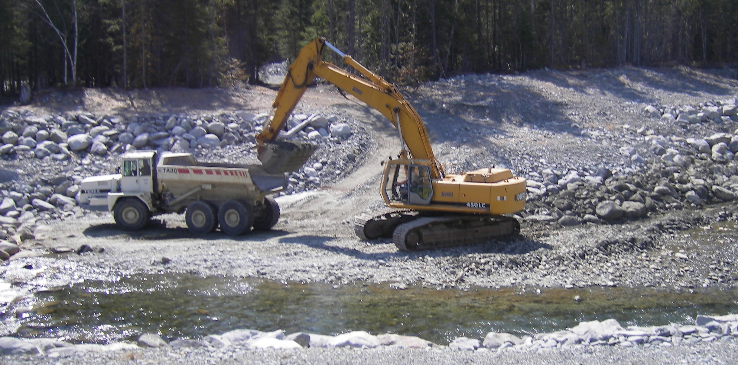
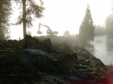
Historically, gravel has been removed from Valley rivers to reduce the water level profile at a specific locations, based on visual inspection of gravel bed load. Other times, gravel has been removed to facilitate construction projects for preload or structural fill. Over the past century, a greater understanding of the complexity of river ecosystems has been developed. As a result, gravel management is now based on science and engineering. Regulating agencies require information indicating hydraulic impacts and subsequent threats to public safety caused by gravel bed load. Detailed survey work and computer generated models of the river flow characteristics are used to provide justification. In addition, environmental assessments must be conducted to identify habitat impacts. Once this information has been compiled, a plan is developed to carry out the work and mitigate impacts to habitat.
The PVDD monitors gravel bed load on all creeks and rivers in the Valley both visually and through survey. Several management plans have been adopted to deal with bed load when it is considered to hydraulically impact the level of protection offered by the dyke and were minimal impact to the river ecosystem will occur. For more information on gravel management plans please see documents below.
- Lillooet River Gravel Management Plan, February 2007
-
- Publisher: Kerr Wood Leidal Associates Ltd
- Publish Date: February 2007
- Pemberton Creek Gravel Management Plan, 2006
-
- Publisher: Kerr Wood Leidal Associates Ltd
- Publish Date: December 2006